Hatch Forecast
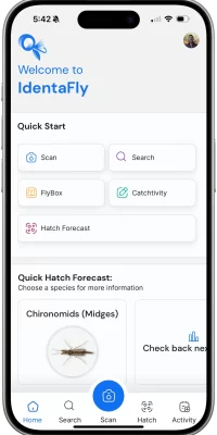
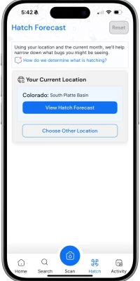
Hatch charts have been a part of fly fishing for ages, but how we collect, update, and share that information is where IdentaFly's Hatch Forecast shines. We've reimagined the way you learn about what's hatching—instantly, right when you spot it. With GPS pin-point accuracy, you can see what's hatching around you and get personalized fly pattern recommendations. Curious to know more? Keep reading to discover how Hatch Forecast works!
- GPS, pin-point accuracy
- Offline Access
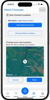
- Change months & location
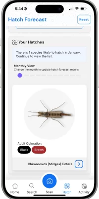
- High Quality Images
- Match the Hatch with suggested fly patterns
I can look this up online ahead of time, why should I subscribe to this?
Yes, it's true all of this information is technically out there on the internet. However, when you see a bug hatch, do you know what it is? With our high quality images, available offline, you can narrow down the results with our forecast.
What kind of hatches does this cover?
We are cover all MAJOR hatches. There are always going to be micro hatches, or changing hatches based on environmental changes too. Please let us know what's hatching so we can keep our app up to date for others.
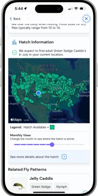
What are those weird shaped areas on the hatch map?
This is the region that relates to the watershed. They may cross multiple states.
What makes this different?
Our technology choices allow our hatch charts to be updated easily, so that your location gets the best results.
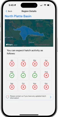
Additionally, we can break down rivers into sections within your region. This allows for more accurate hatch results, especially in mountain regions due to elevation changes.
Au Sable River Weber River Yellowstone River Shenandoah River Madison River Henry's Fork Beaver Kill North Umpqua River Snake River Gauley River San Juan River Wenatchee River Bighorn River Rapid River Deschutes River Clearwater River Yakima River South Fork Flathead River Green River Kern River Nantahala River Chattooga River North Platte River Chattahoochee River White River Kennebec River Connecticut River Boulder River Gallatin River Pemigewasset River Missouri River Watauga River Kenai River Tongue River South Platte River Salmon River Holston River Yampa River South Fork Holston River Youghiogheny River Manistee River McKenzie River Bois Brule River Batten Kill Fryingpan River Pere Marquette River Niagara River Logan River Kobuk River Russian River Provo River

